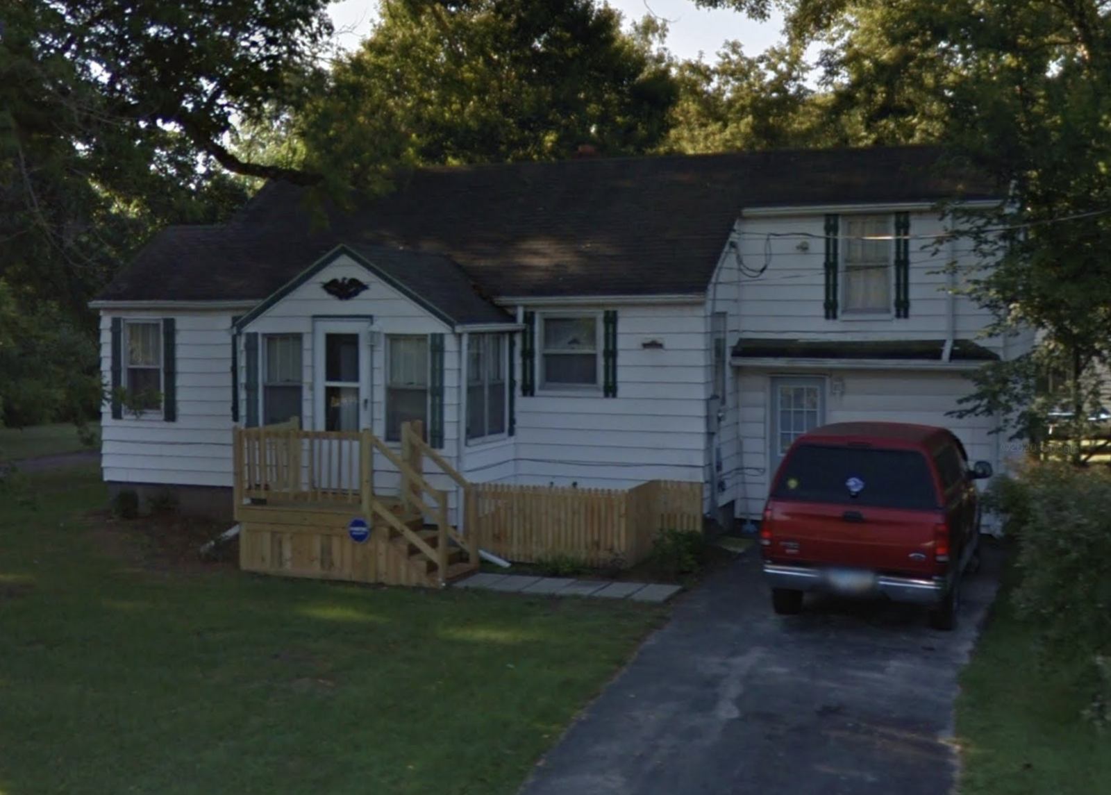
Property Details
Legal Description
A parcel of land being part of Fractional Section 31, Town 8 North, Range 10 East, Springfield Township, Lucas County, Ohio and more particularly described as follows: Commencing at the intersection of the West line of said Fractional Section 31 and the centerline of Toledo-Wauseon Intercounty Highway No. 20, now known as Old Airport Highway, said point being the true point of beginning; thence Easterly along the centerline of said Highway Number 20, having an assumed bearing of North 78 degrees, 33 minutes, 19 seconds East a distance of 147.14 feet to a point; thence South 0 degrees, 06 minutes, 34 seconds West, a distance of 347.58 feet to an iron pipe set, thence South 89 degrees, 54 minutes, 01 seconds West, a distance 144.11 feet to an iron pipe set on the West line of said Fractional Section 31; thence Northerly along the West line of said Fractional Section 31 having a bearing of North 00 degrees, 05 minutes, 59 seconds East, a distance of 318.13 feet to the true point of beginning. Subject to legal highways.
Location
Foreclosure Details
Conditions of Sale
Auction By

